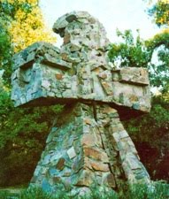
The Kaysville Irrigation Reservoir is the mitt-shaped reservoir in the center of the zoom. The Boynton Road Farm is to the north and east of the reservoir. Kay's Cross is just east-northeast, upstream of the "thumb of the mitt" of the reservoir.
View the zoom animation in larger format on Google's Time Machine website here.
 | |
| Kaysville area, 2000Location of Boynton Road Farm and Kay's Cross shown |
I grew up in the hollow, below the Kaysville Irrigation Reservoir. As you can see, the size of the reservoir grows and shrinks dramatically over the years, depending on season and rainfall patterns.
We worried quite a bit about what might happen to us if the dam were to fail--even more so after the Teton Dam failure in 1976. Apparently our worries were not in vain--but more on that, and the whole history of the dam and reservoir, later.


